
Rain and Cooler Air Arrive in the Northeast, Ending Long Dry Streak
Rain through Friday will end a prolonged dry spell across much of the region, with cooler air for the weekend and slick roads as rain returns.
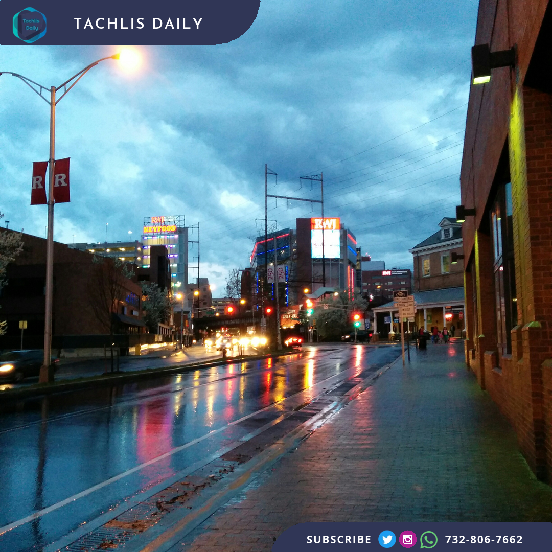
Rain and cooler air will sweep across the Northeast through Friday, ending a prolonged dry spell in many areas before a cooler weekend, according to AccuWeather.
Wednesday may have been the warmest day in the Northeast until March or April, AccuWeather meteorologist Joe Lundberg said. New York City, Philadelphia and Washington, D.C., last recorded measurable rain on Oct. 17.
The first rain after a long dry stretch can mix with oil, dust and other residue on pavement, making roads unusually slick. Wet leaves can add to the hazard on roads and sidewalks, while leaves blocking storm drains can contribute to street flooding during downpours.
AccuWeather said a front could stall near the mid-Atlantic and New England coasts from Friday into early Saturday, focusing a narrow band of heavy rain and thunderstorms. Localized flash flooding is possible near the coast, but the band's position will determine which places receive the heaviest rain. An offshore track would reduce the coastal flooding risk.
WeatherNation also forecast heavy rain and a few storms Friday as low pressure moves into the Northeast. Its models put the heaviest rain over parts of Connecticut, Rhode Island and Massachusetts, with a marginal risk of severe storms farther south along the front.
Much cooler air will settle into the region for the weekend. AccuWeather expects clouds and showers in parts of the interior Northeast, with highs generally in the 40s to around 50 degrees. Temperatures closer to the mid-Atlantic coast could reach the 50s to lower 60s where sunshine breaks through.