
Original Mason-Dixon Map Sells for $950,000 at Auction
The historic survey map brought a $950,000 hammer price at Brunk Auctions in Asheville. Including the buyer's premium, the total was $1,187,500.
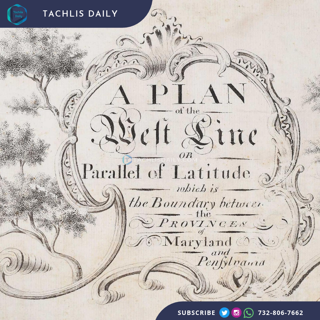
An original Mason-Dixon survey map sold Thursday for a $950,000 hammer price at Brunk Auctions in Asheville, North Carolina. With the buyer's premium added, the total came to $1,187,500.
The document, titled A Plan of the West Line or Parallel of Latitude, relates to the historic survey by Charles Mason and Jeremiah Dixon that established the boundary between Maryland and Pennsylvania. The map dates to the 1767-68 period.
The auction result reflects the sale of an early document connected to one of the best-known boundaries in American history. The Mason-Dixon line later took on a broader cultural and political meaning, beyond the original colonial boundary dispute.
The $950,000 figure is the hammer price, before the auction house's premium. Reports describing a sale above $1 million are referring to the total paid with that premium included, rather than a different hammer price.
Brunk's catalogue identified the map and provided images and condition information for bidders. The antique document pictured here is from the auction listing, not a modern recreation of the boundary.
The auction house's original lot listing provides the document's title and catalogue details. Local reporting from Asheville also confirmed the sale and the premium-inclusive total.