
DJI Unveils Matrice 5T Enterprise Drone With LiDAR, 1K Thermal Imaging and Up to 59 Minutes of Flight
The compact industrial drone is aimed at emergency response, inspections and surveying. U.S. availability remains uncertain.
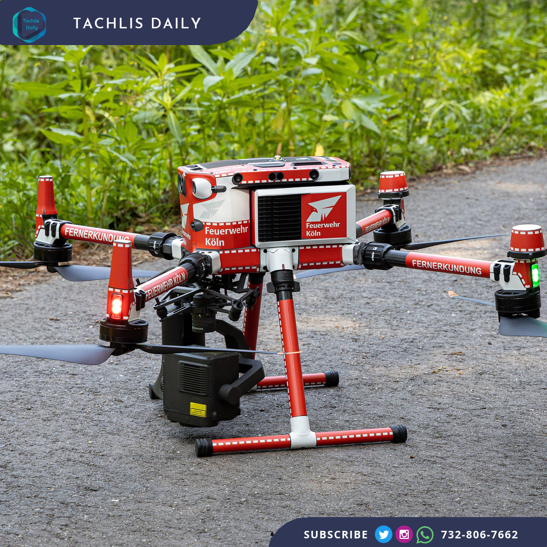
DJI introduced its Matrice 5T enterprise drone Thursday, adding high-resolution thermal imaging and a combination of LiDAR, radar and vision sensors for emergency response, inspections and surveying.
The company says the compact aircraft offers up to 59 minutes of flight time and an IP55 rating for dust and rain resistance. It is designed to operate at temperatures ranging from minus 20 to 50 degrees Celsius. Those specifications are manufacturer claims, with actual performance depending on operating conditions.
Its thermal camera has a native resolution of 1280 by 1024 pixels, four times the pixel count of a 640-by-512 sensor. DJI also lists a 50-megapixel medium telephoto camera with 3x optical zoom for close inspection work.
The Matrice 5T combines LiDAR, millimeter-wave radar and an omnidirectional vision system to sense nearby obstacles. DJI says the LiDAR can detect thin obstacles such as power lines at night, while radar supports sensing in fog, rain or dust.
The drone also supports automated inspection tasks and software plugins for specialized work. Reports say the system can identify and track wires during power-line inspections and combine visual and radar information when satellite navigation signals are weak.
U.S. availability remains uncertain, according to reports. The announcement does not establish that the Matrice 5T is available to buy or approved for every type of operation in the United States.