
Cross-Country Storm Takes Aim at East Coast; Flash Flooding Possible Baltimore to Boston Late Week
Heavy rain could slow travel along the I-95 corridor late Thursday into Friday after the storm brings a severe-weather threat to parts of the Southeast.
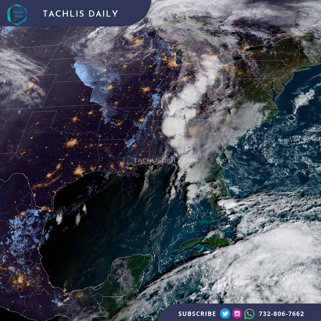
A cross-country storm is moving toward the East Coast, with heavy rain and possible flash flooding threatening the Baltimore-to-Boston corridor late this week after severe weather in parts of the Southeast.
The system is forecast to bring showers and thunderstorms to parts of the Tennessee Valley, Southern Appalachians and Georgia on Wednesday. Damaging wind gusts are the main severe-weather concern, though isolated tornadoes are possible.
Rain is expected to reach parts of the East Coast Thursday. Downpours could linger near the I-95 corridor late Thursday into Friday, creating the potential for flash flooding and difficult travel from Baltimore through New York and Boston.
For New Jersey and the New York area, Friday is a period to watch for heavy rain. The timing and location of the heaviest bands can still change as the forecast develops; the broad risk does not mean every neighborhood will flood.
Travelers should allow extra time, keep an eye on local forecasts and avoid driving through flooded roads. This is a forecast of possible flooding, not a statement that a flood watch or warning has been issued for every community along the corridor.